Sep 2022
Zambezi river flows eastward (after a long Southward journey through Zambia) and is at its widest, about 1.7 km at the point where it suddenly vanishes by falling into a crack on the surface of earth. The crack is a narrow gorge with 108 m steep walls on either side. The river plunges over the sheer precipice to the base of the gorge to continue its peaceful journey through Zimbabwe to its eventual destination, the Indian Ocean.
Victoria Falls, where the river plunges into the gorge, is thus 1.7 km wide, 108 m steep and is the largest (by volume) waterfall in the world. Victoria Falls is also the border between Zambia and Zimbabwe. Zambia has the falls. The other side, that has the view, belongs mostly to Zimbabwe and partly to Zambia.
How best can you see this spectacularly awesome waterfall that is twice the length and twice the height of Niagara?
1. Walk along the 1.7 km trek on the side opposite to the fall and see the water plunge into the depths. You need to move between Zimbabwe and Zambia to complete the trek. We did.
2. Climb down the depth of the wall (not an easy trek; we had help from three lads with strong legs and strong arms to hold our hands and guide us through), get to the base of the gorge and appreciate the massive volume of water falling from the sky (and do a jet boat ride).
3. Zip line from one side of the gorge to the other to get a view of the falls and the river continuing after the falls.
4. Fly on a microlight (that takes off from Zambia) at very low altitude and see the falls from the sky. This was the best, and most comfortable.
5. Fly in a helicopter (that takes off from Zimbabwe) at a slightly higher altitude (the best if you are keen on photographing the show).
We did all five with all the options included.
An aerial view (from a helicopter ride) shows you how Victoria Falls is different from other falls. Water falls into a crack and can be viewed as it vanishes downwards. You get to see mostly the top half of the falls from the opposite rim of the gorge.
 [Aerial view of Victoria Falls; falling into the gorge and continuing its journey]
 [Main falls at Southern end, Livingston island, and Horseshoe falls]
The Microlight flight is a lot more fun. You are open to elements; can feel the wind, the noise, and the chill. And get a (literally) bird’s eye-view of the falls.
 [Microlight flight over Victoria Falls. View of Falls, VF Bridge, and River continuing]
The top most gorge has the falls on the western (top right) side; the viewing trek on the eastern (left) side. Water gathers at the “Boiling Pot” and flows through a gap into the second gorge (right under the Victoria Falls bridge) and bends into the third gorge to continue its journey toward Indian Ocean. The Victoria Falls Bridge is half owned by Zimbabwe and half by Zambia; and crossing it involves emigration and immigration.
 [Microlight flight over Victoria Falls. View of the opposite rim with its trek & viewing points]
The trek on the opposite rim is 1.7 km long; has 22 viewing points (mostly in Zimbabwe and some in Zambia).
As we start walking on the trek (from the Zimbabwe side), our first view of the falls at the Southern end (Water flows from West to East and trek goes from South to North). You see the two rims, Devil’s cataract at the Southmost end of the falls, and the Main falls.
 [First glimpse. The gorge, the flow, Devil’s Cataract, and Main Falls]
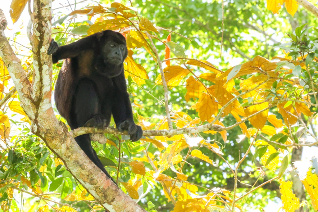
The spray that rises, after the falls, as an iridescent mist can be seen from more than 20 km away. The mist helps sustain a rainforest-like ecosystem (thick with Mahogany, Fig, and Palm) in the immediate vicinity of the falls.
Further along the trek, you get to see the Main Falls. An awesome view to internalize.
 [Main Falls, as seen from trek viewing point on the opposite rim]
The trek is not arduous; but you need to be protected against the spray rising up and drizzling down on you as wind carries it sideways.
 [Trek with 22 viewing points on the opposite rim; partly in Zimbabwe and partly in Zambia
 [Horse shoe falls from Zimbabwe side]
Then you get off the trek, drive across the Victoria Falls bridge, immigrate into Zambia and continue the trek on the Zambian side of the rim. You start with a view of the gorge, the falls, and the opposite rim.
[View of the Gorge, and the two rims from the Zambian end of the Falls]
The trek has to go over sudden break in the rocks. We navigate one through the Knife's Edge Bridge.
[Knife’s edge bridge on the trek, Zambian side]
[Rainbow falls, how appropriately named]
 [Horse shoe falls, from Zambian side]
Crane your neck out a bit, and you can see the jet boats struggling against the current to stay in the same place at the bottom of the falls for a few precious minutes.
[Jet boats struggling through the current far below at the bottom]
Along the trek, you get to see the Victoria Falls Bridge. One can walk in the gangway under the bridge to see the river rapids down below (and folks doing white water rafting or jet boat ride on the river).
[Victoria Falls Bridge]
The bridge is jointly owned by Zimbabwe and Zambia and is maintained by both the countries. The Zimbabwe/Zambia border is the midpoint of the bridge (though immigration offices are at either end for obvious reasons).
One can walk across the bridge on the maintenance gangway to have a closer look at the falls, the boiling pot where water gathers before flowing into the parallel gorge, and at all the white water rafting jet boats down below; a walk from one country to another.
[Walk on the maintenance gangway underneath the bridge]
[Water flowing from the boiling pot below the falls to the parallel gorge through a break]
We zip lined from one rim to another; as the operator says, from Zambia to Zimbabwe without passport or visa!
[Wife zip lining over the rapids from Zambian end to Zimbabwe end of the second gorge]
[Wife zip lining]
And then we did the unthinkable. Signed up to climb down the steep wall to the base of the falls. The climb down was a very arduous trek that took 2 hours over 500 unrailed steps overlooking the river far below. We could make it thanks to supportive words and supportive hands to guide us from the Zimbabwe guides. (The climb up was easy and was done in 1 hour). Once we got down to the bottom, it was all fun. Jet boat to the bottom of the falls, wondering at the thunderous fall of water from the skies, and thrilling ride over white water rapids.
[Climb down 108 m, 500 steps to the bottom of the gorge]
[On a jet boat at the bottom of the Falls; ready for white water rafting]
[View of the Falls from the bottom of the gorge]
We have been to Iguazu Falls twice; and Niagara countless number of times. Among the three, we think Victoria Falls was the most exciting. So far.
Some fun facts about Victoria Falls:
1. The falls has been receding due to erosion of the rocks. In future Victoria Falls would be entirely within Zambia; and Zimbabwe would lose its star attraction!
2. Victoria Falls is one of the seven natural wonders of the world. Others? Grand Canyon, Great Barrier Reef, Rio de Janeiro harbor, Mount Everest, Polar Aurora, and Paricutin Volcano. (We have seen five out of seven!)
3. Victoria Falls is the largest (by volume of water that flows through) in the world. The widest is Khone Phapheng Falls in Laos, about 11 km wide. The highest is Angel Falls in Venezuela, about 979 m high! The largest broken waterfall is Iguazu with its 275 cascades separated by vast stretches of rocks at the Argentina/Brazil border.